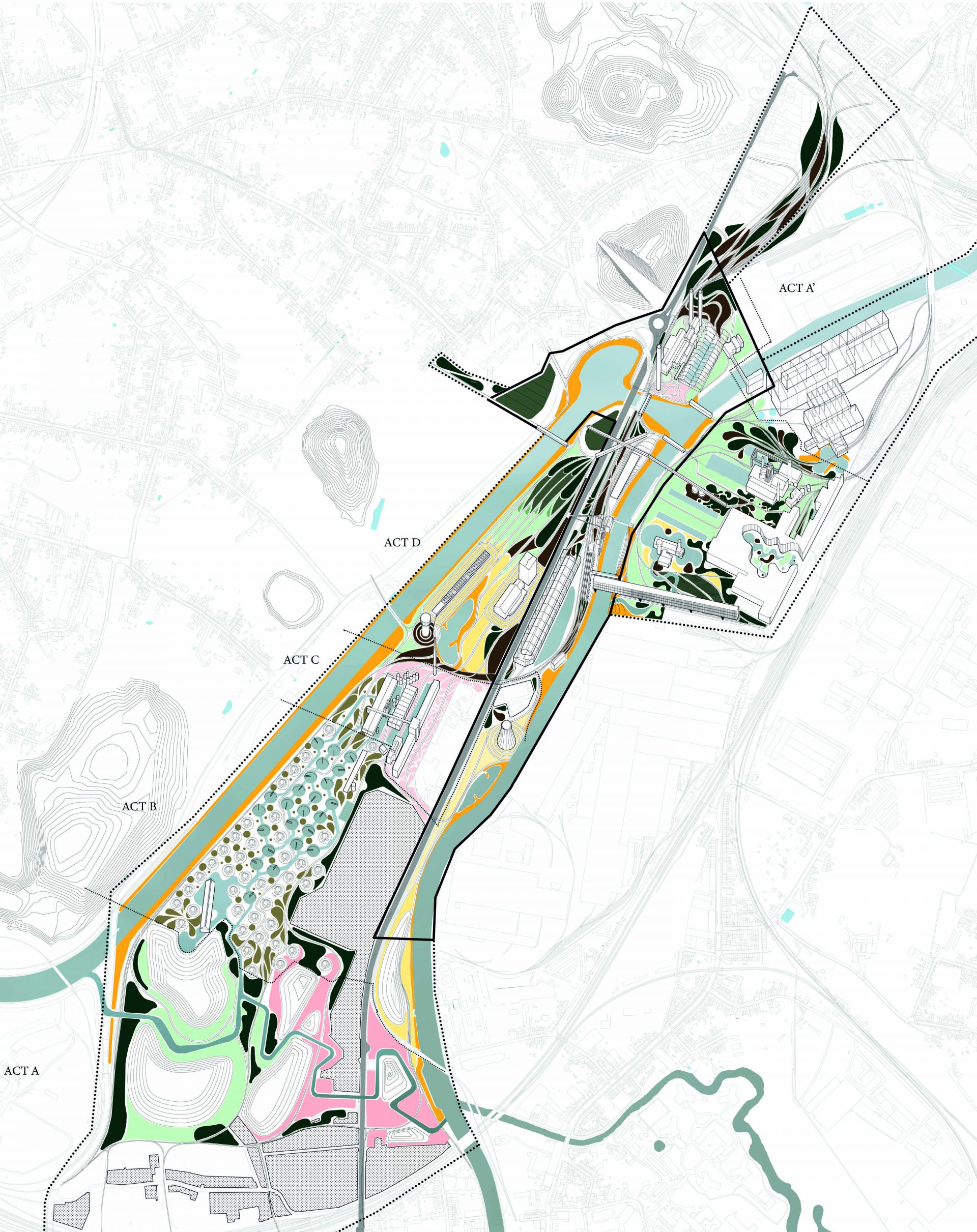
Based on the group project developed during P9, this project settles in the same location, and is conceived as a topographic solution to the flood problem that the illegal settlement at the Cañada Real Galiana has.
Location
Madrid, Spain
Budget
–
Status
Completed
Year
2015
Type
University assignment
Client
–
Position
Main Author
Team
–
Programs
Autocad, InDesign
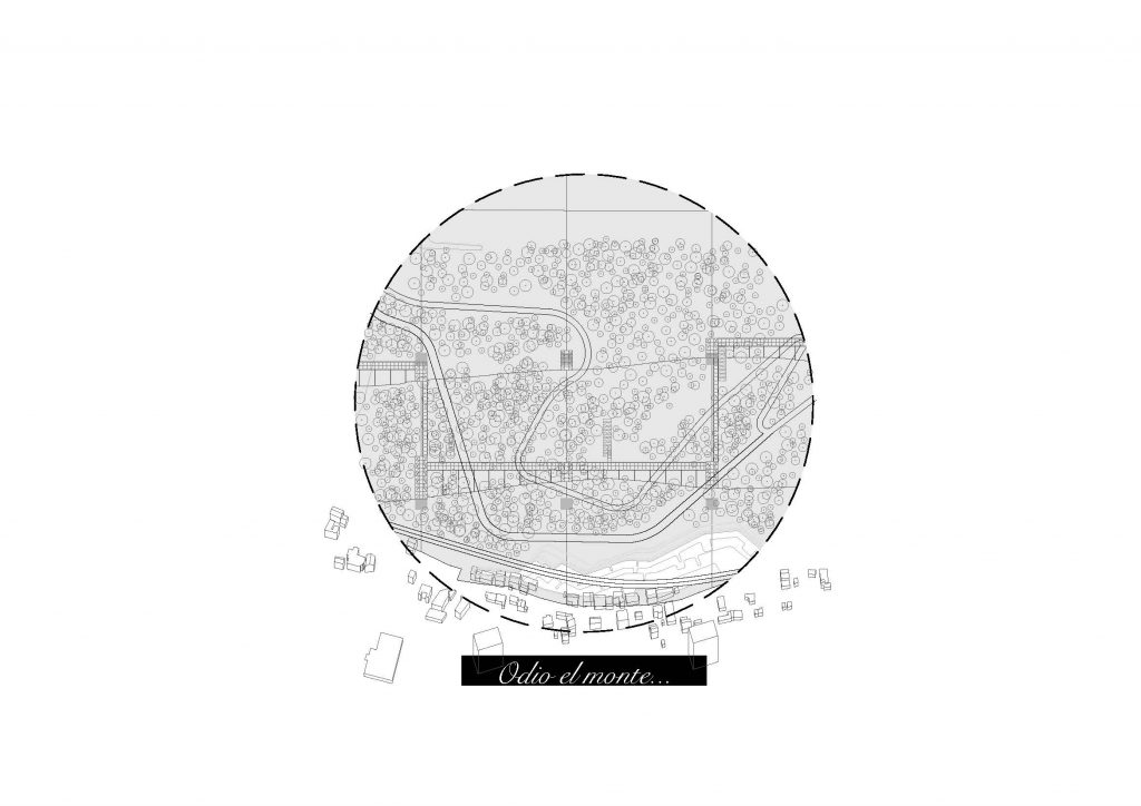
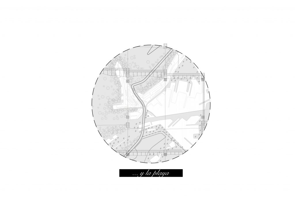
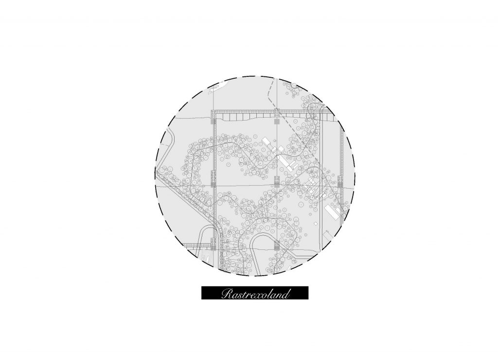
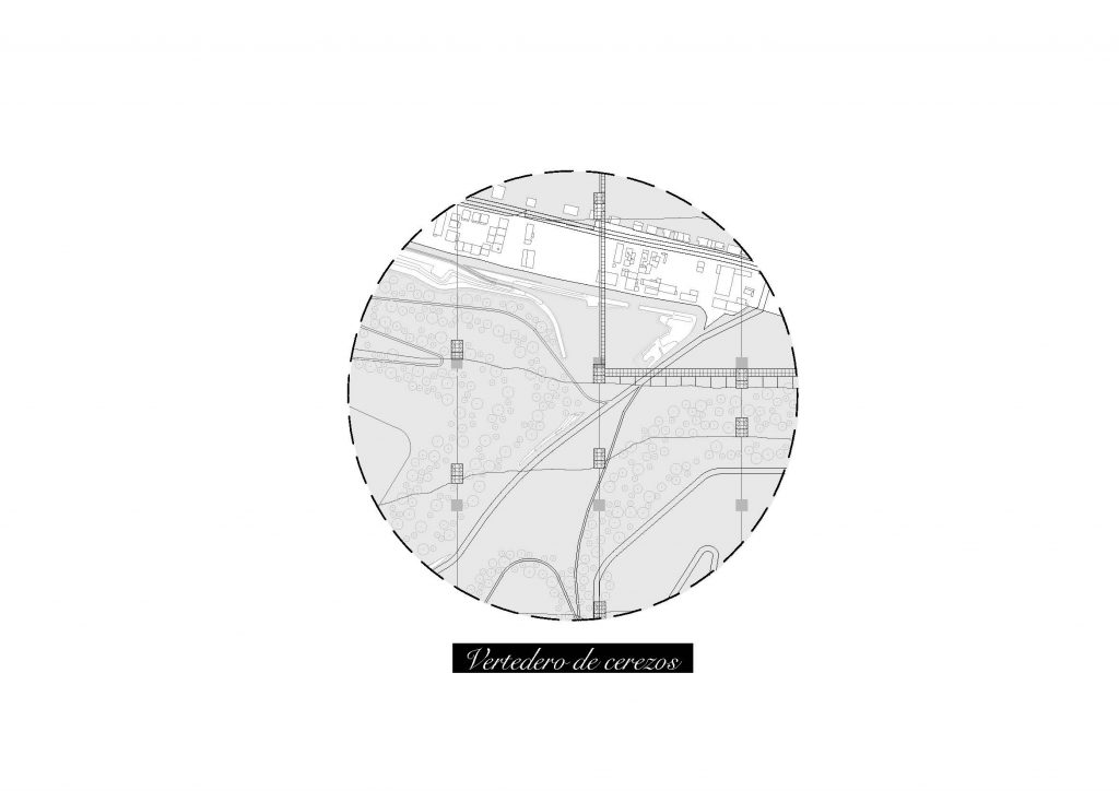
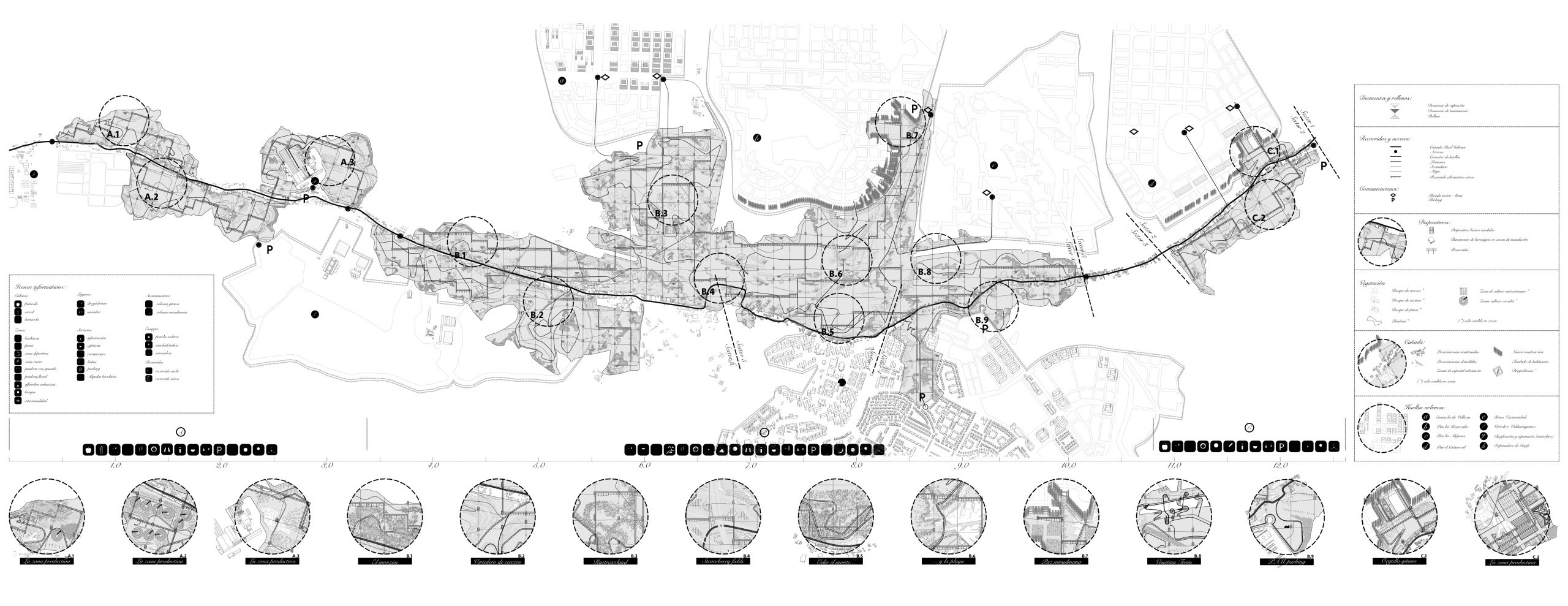
The solution is divided in three separate actions that will create a landscape space in the action area
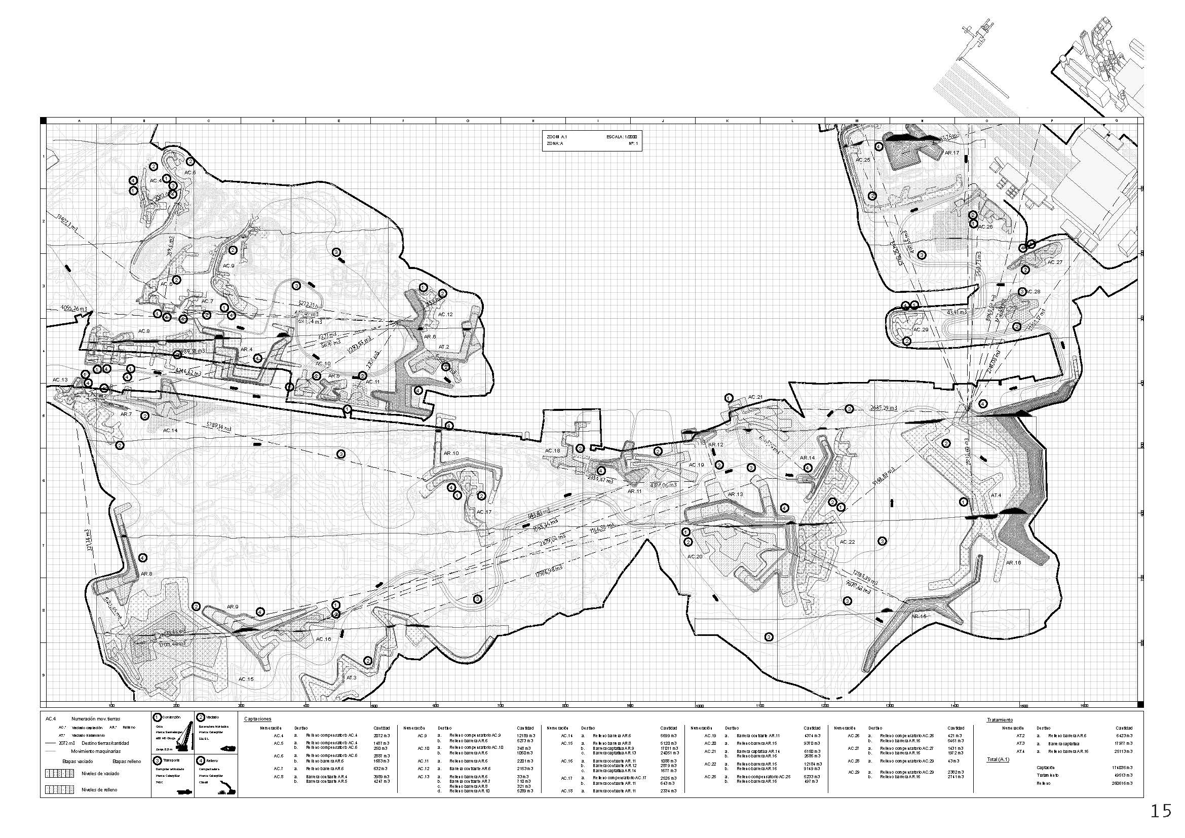
Earth movements
The surroundings of the Cañada Real were studied and analysed to find the places where flood can happen. As a solution, the topography is modified in the accumulation points founded through earth removals and thereby distort runoffs creating new abstraction areas.
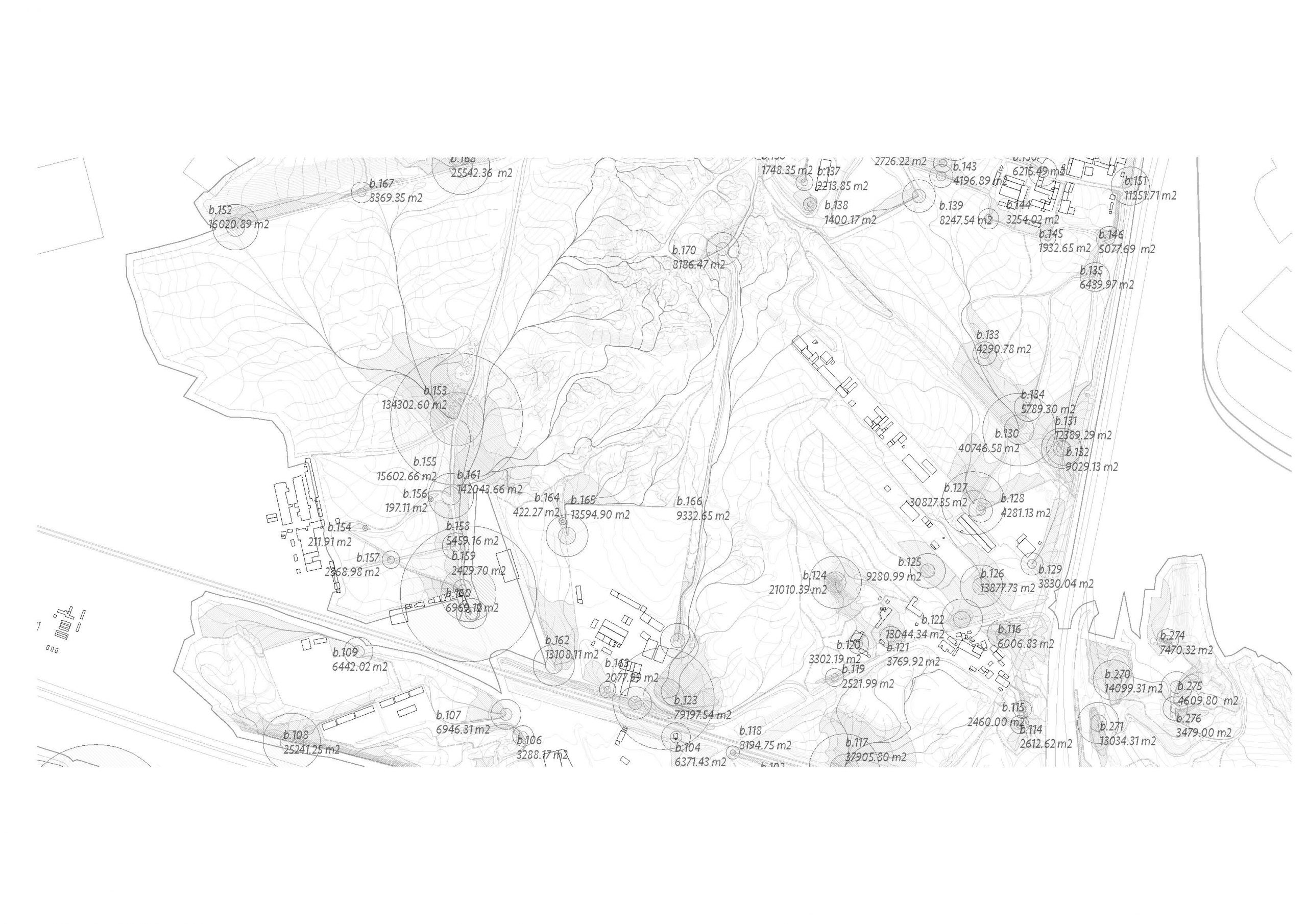
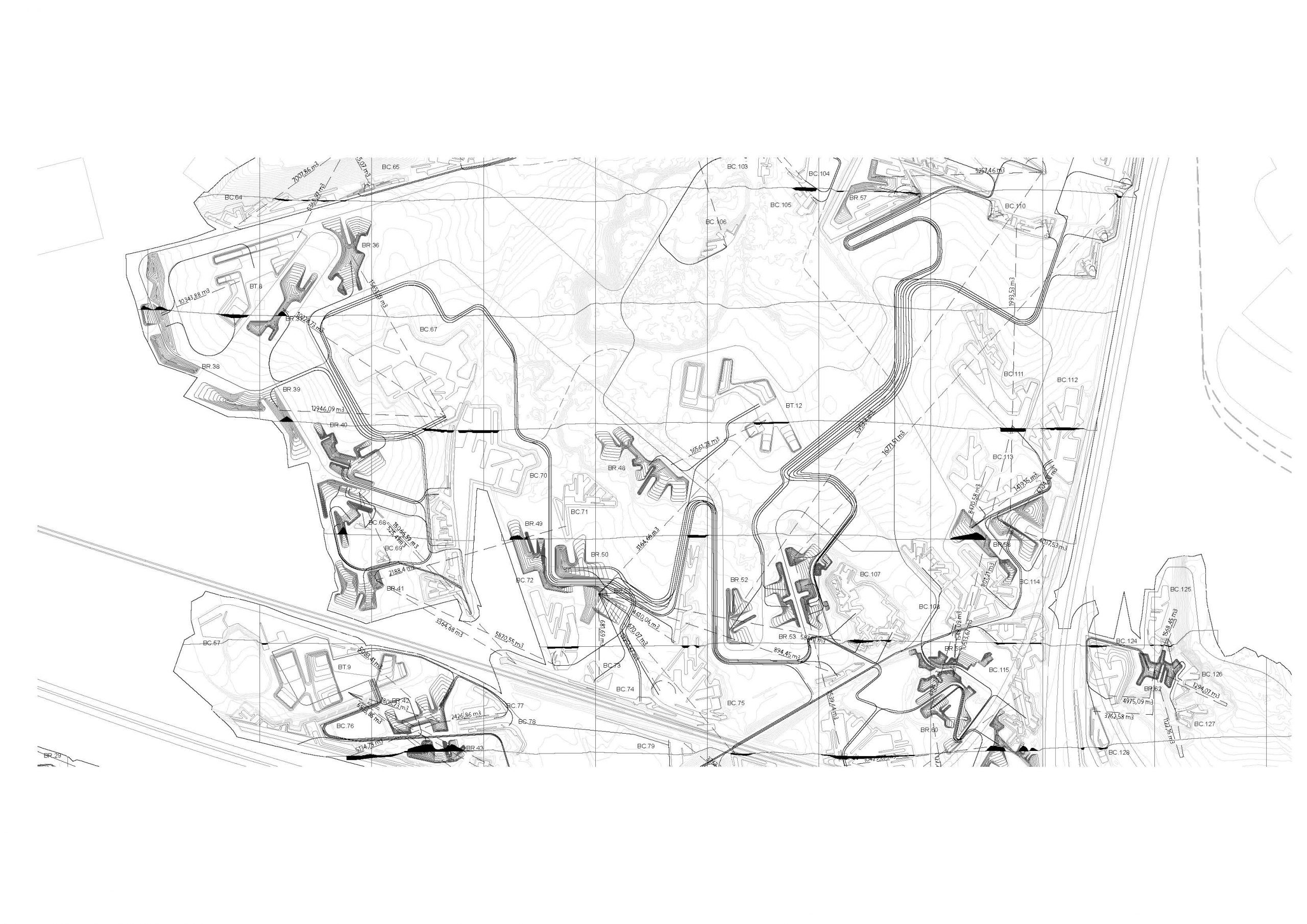
As a consequence, the removed soil is placed in different locations of the site, creating boundaries between the spaces.
The movement of the machinery was calculated and the paths used by them would become the new walks.
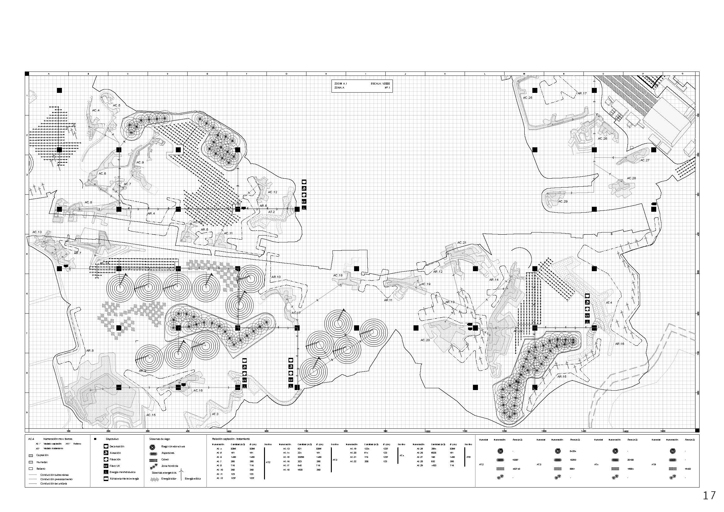
Water Treatment
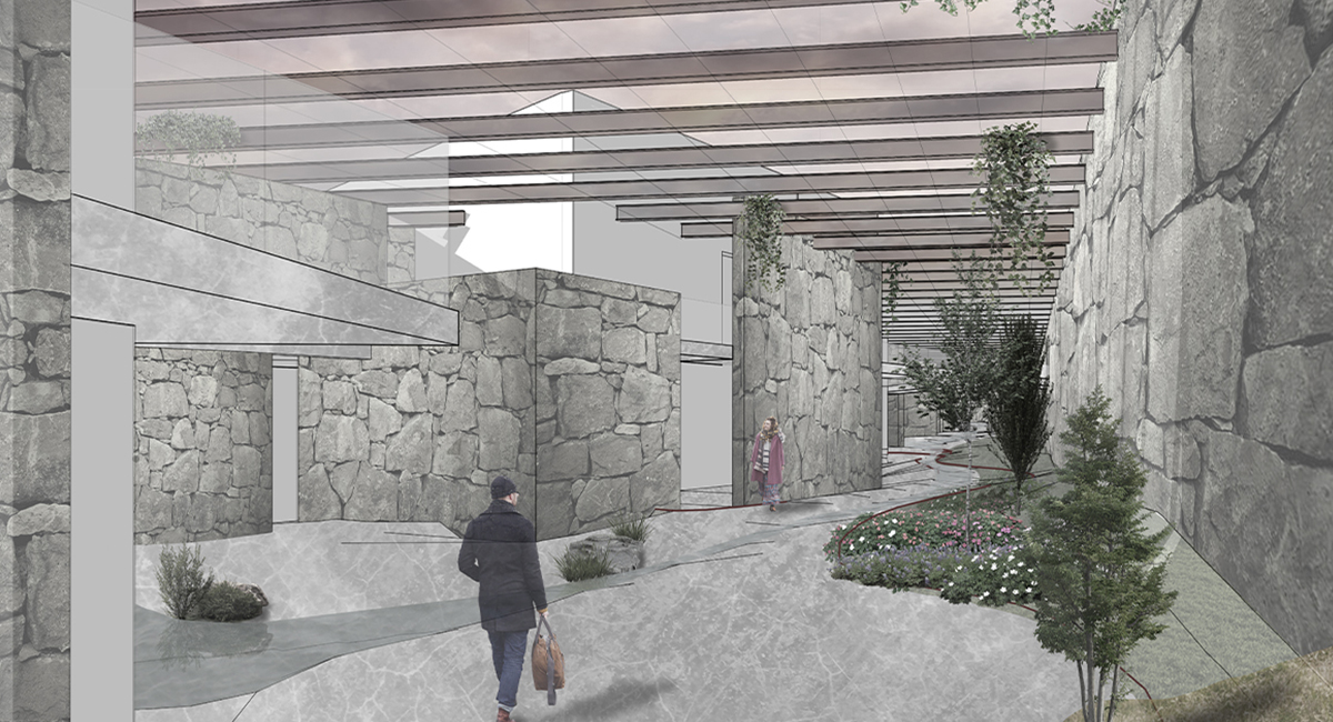
The water collected by the new topography begins a water treatment to become potable and use them later. For that purpose, a grid of devices was settled in the site, generating the spaces necessary for water treatment, services and elevated walkways.
Harvest spaces were created as part of the landscape treatment, benefitting from the potable water produced on site.
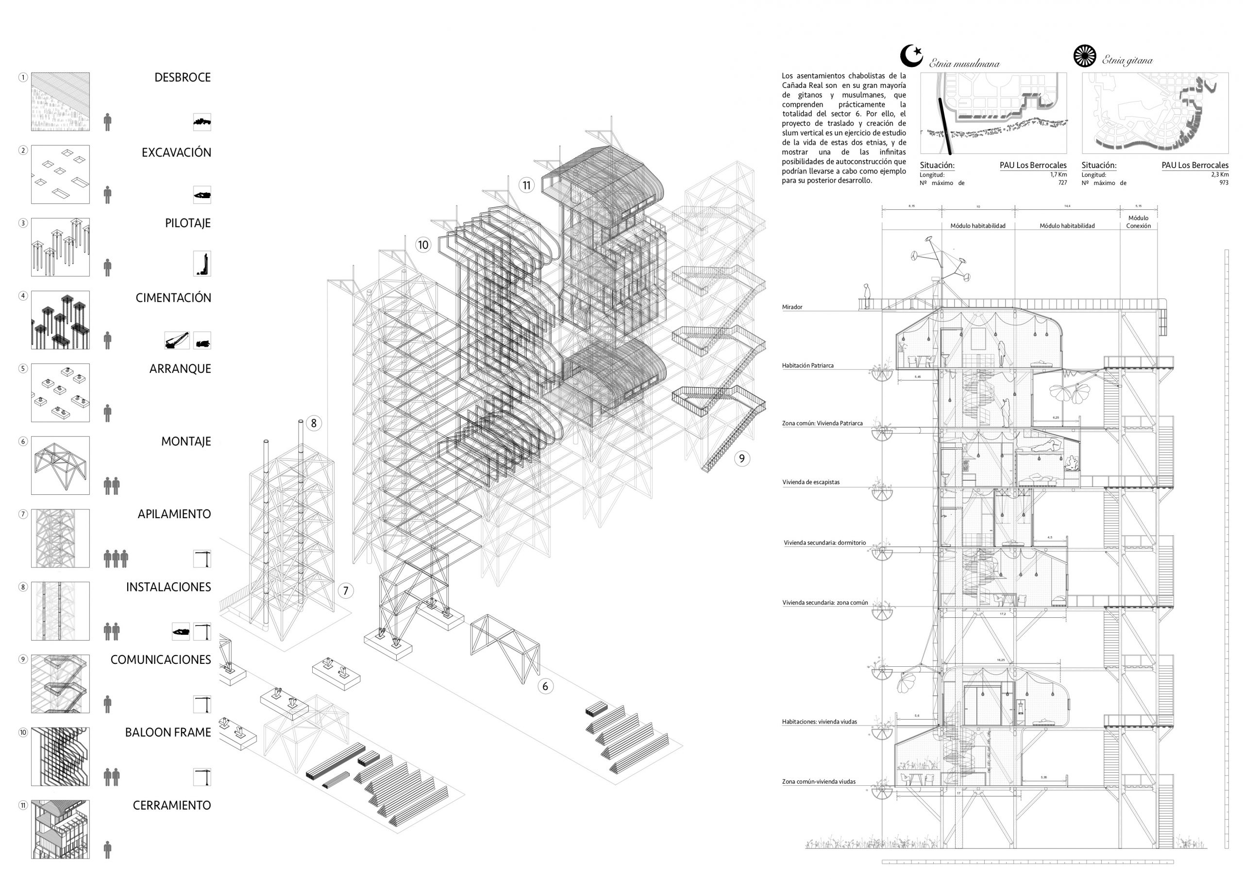
Vertical Slums
The illegal settlements become a double problem in the sector 5 and 6, as they are the places with the lowest incomes and the biggest flooding issues. Several houses in this sectors are self-constructed and poorly executed, resulting in an unhealthy environment.
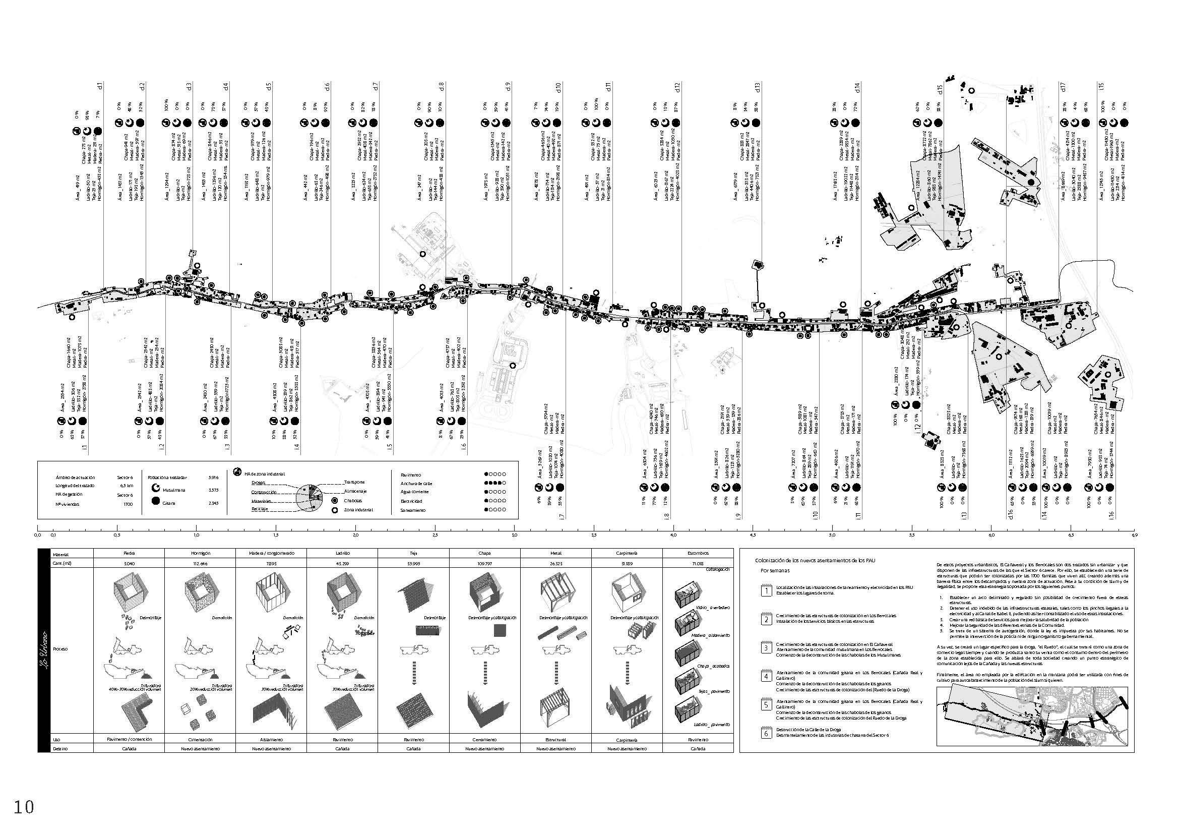
As a theoretical solution, the population from sector 5 and 6 (mostly muslim and gypsy communities) are divided and re-positioned in new structures that they will adapt to their necessities, building in the modules as they’ll need. This settlements also would create a boundary between the new landscape and different urban plans that never were developed.
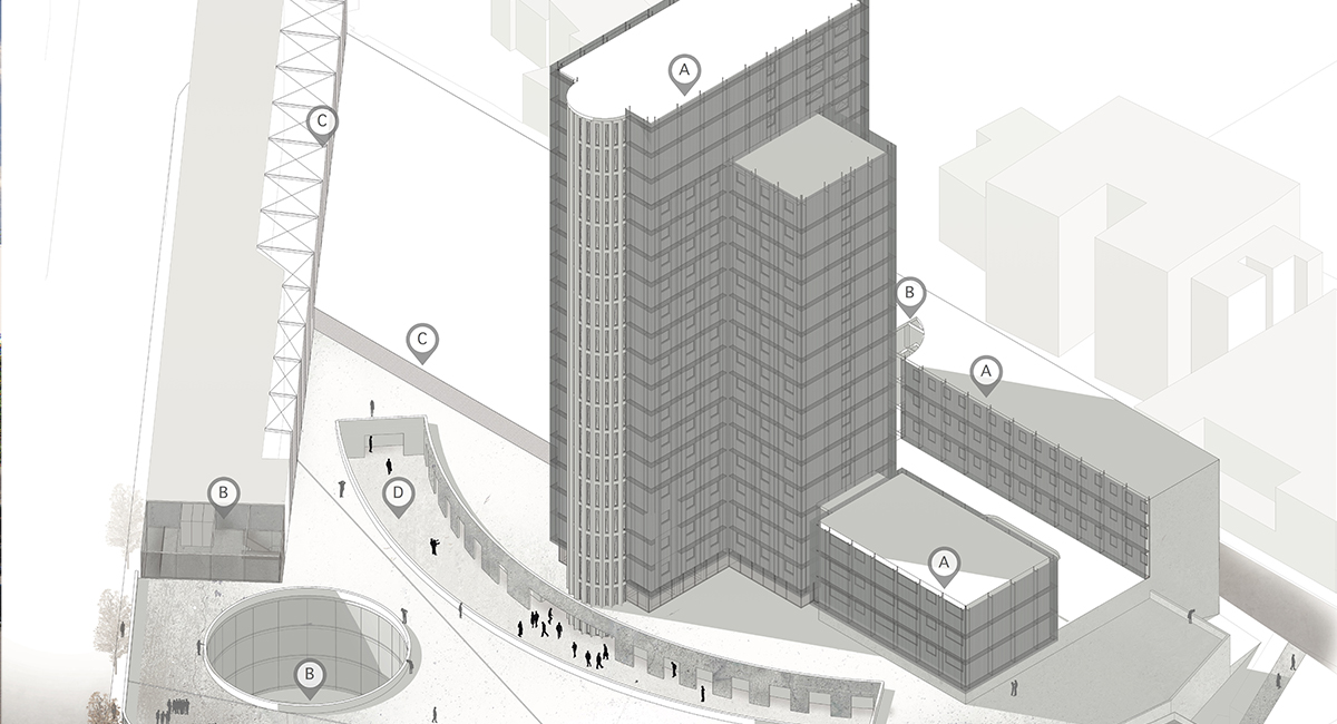
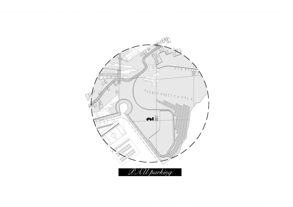
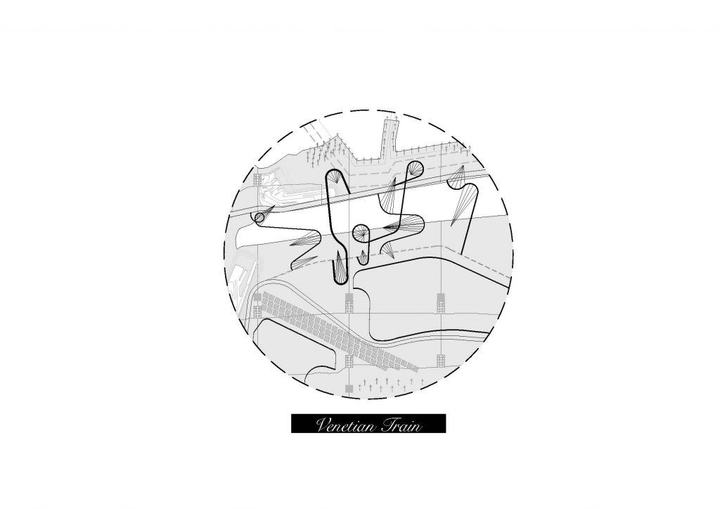
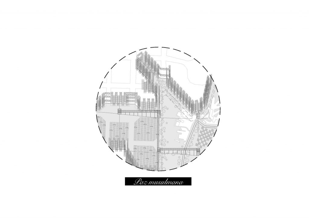
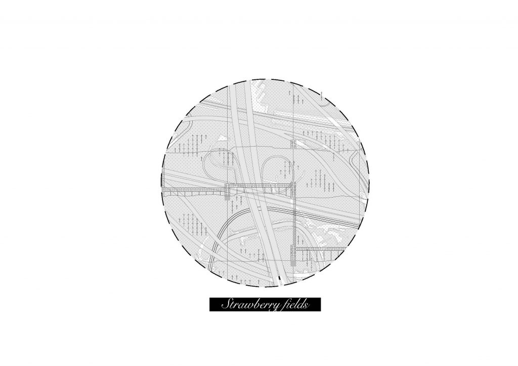
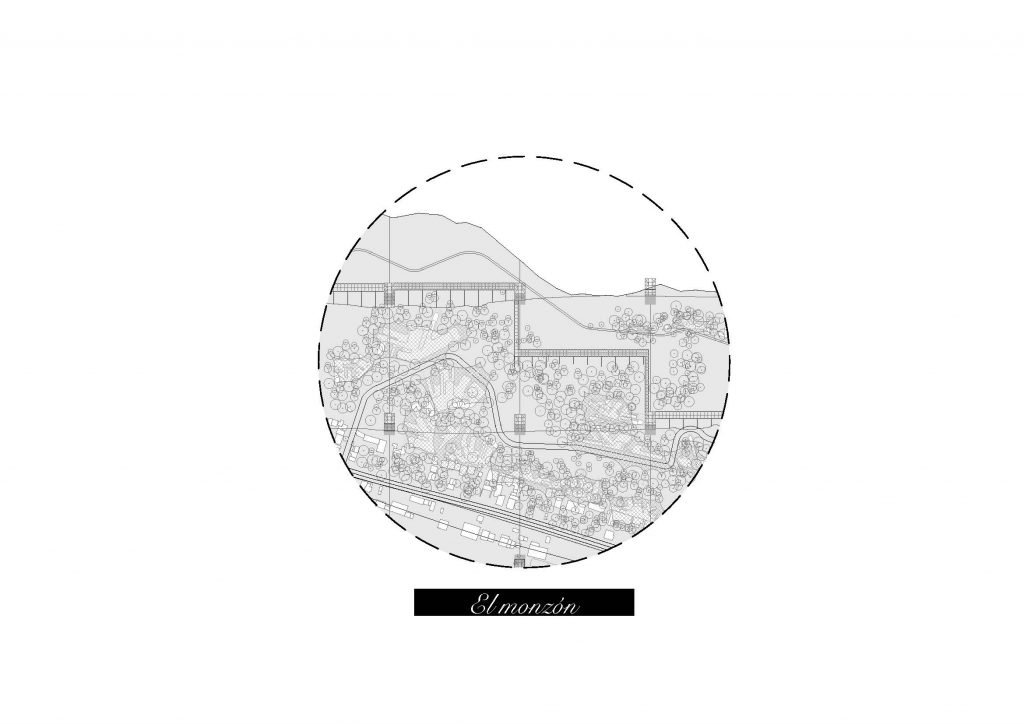
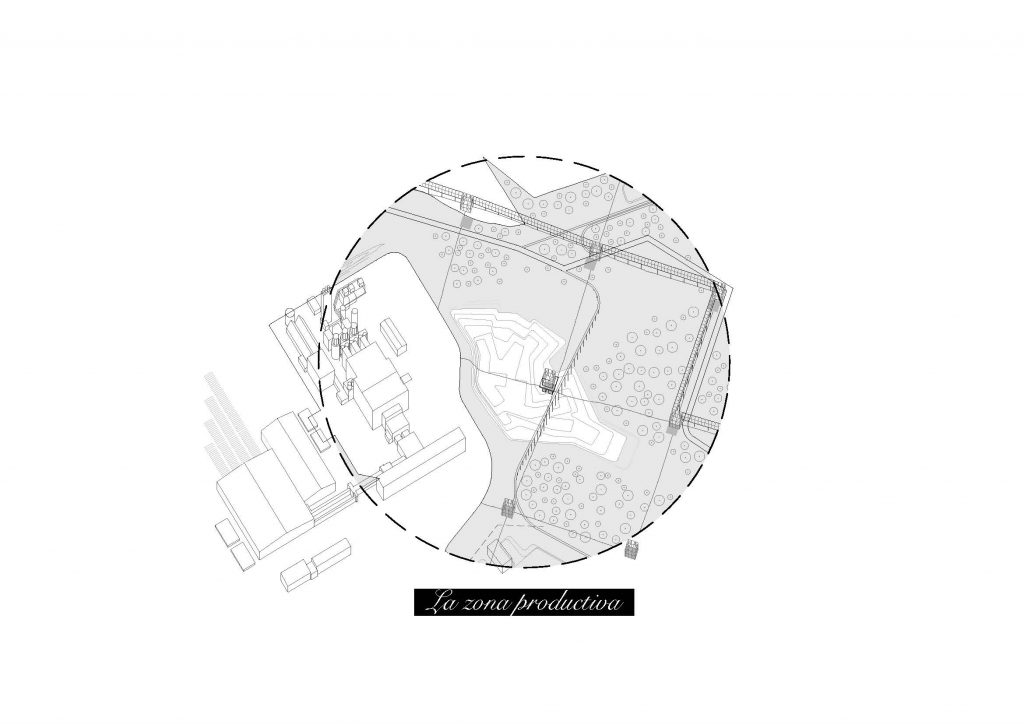
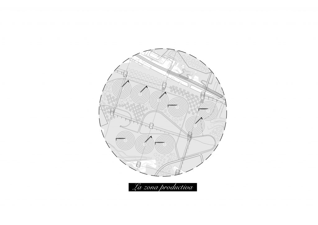
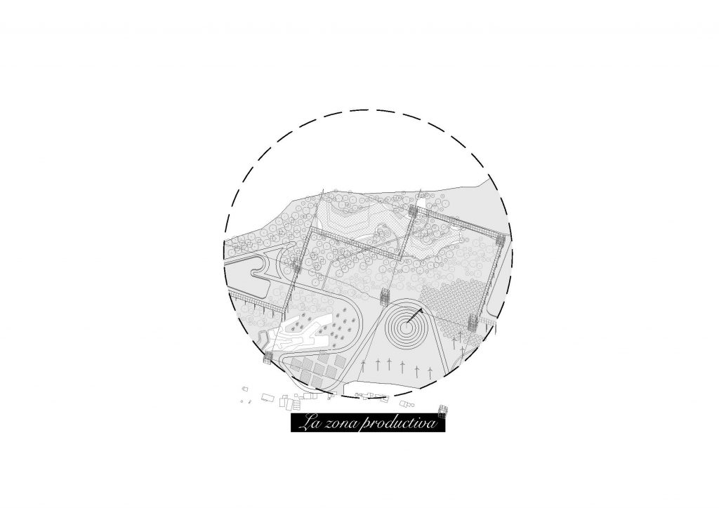
Zooms define the different spaces created in the project
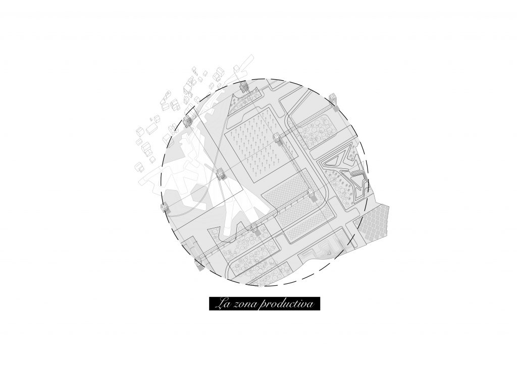
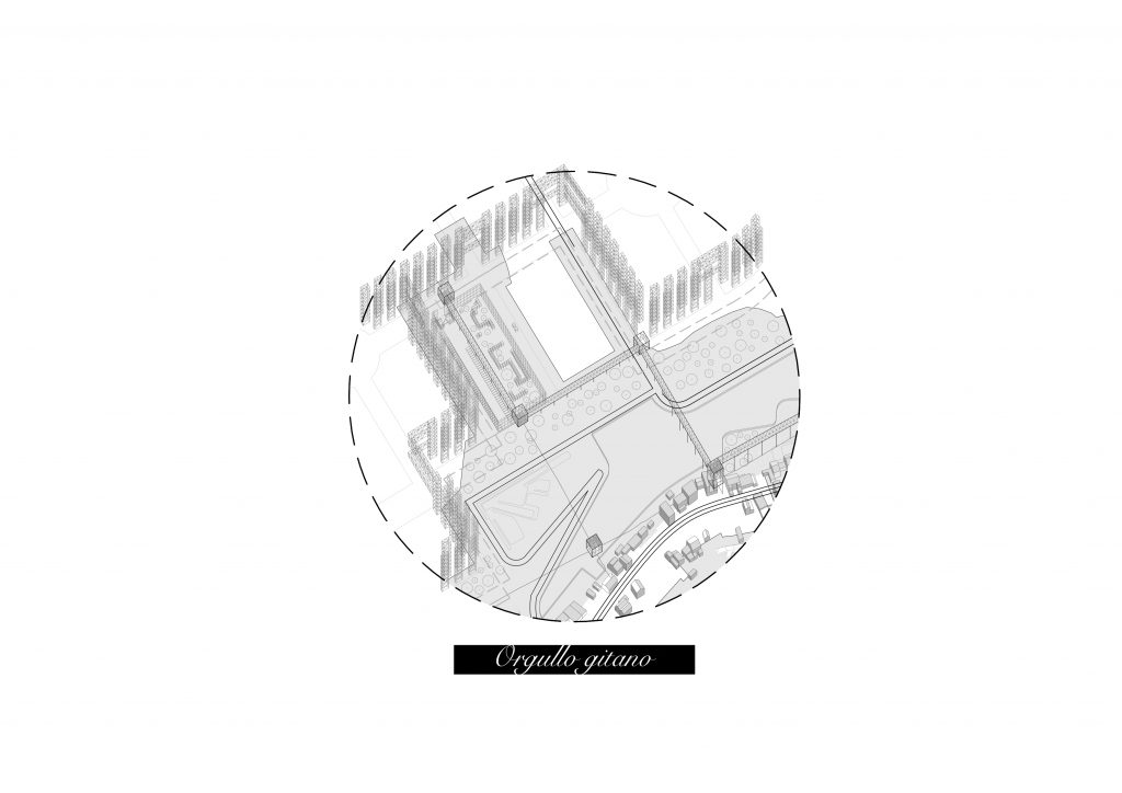
The result is a productive landscape of 16 kilometres that improves the overall surroundings and creates a park that surrounds
the south of Madrid.
Video proposal